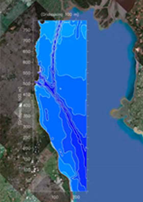
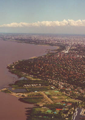
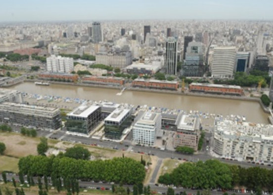
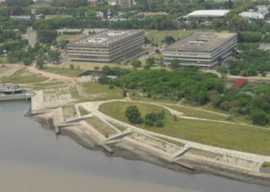
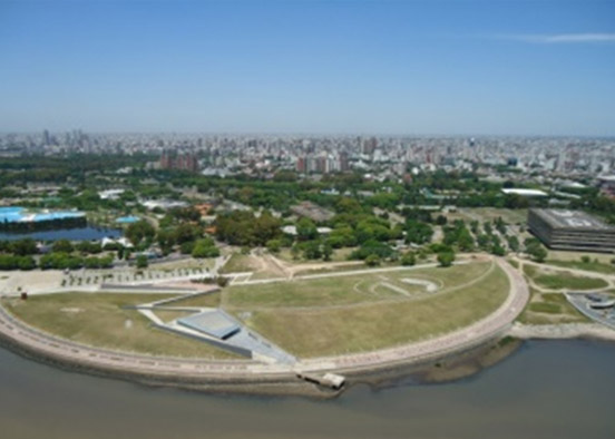
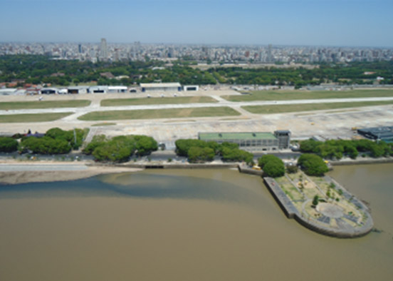
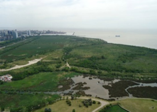
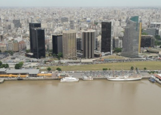
Multidisciplinary diagnosis of the coastal edge, its infrastructure and uses within the framework of the development of a Master Plan of the Coastal Edge of the Government of the City of Buenos, whose objective is to provide an orderly and coherent growth for the different works that are projected on the shore of the “Río de la Plata. Field measurements, studies in hydrodynamic, water quality and sedimentological mathematical models and design of landfill works for different uses. Evaluation of pre-existing conditions and impacts of the works.
The work contemplated the proposal of different configurations of works in the coastal environment and the evaluation of the effects that these will have on the behavior of the Río de la Plata. The works consider existing projects and alternatives for new developments that imply landfills and modifications to the coastline, to be integrated into a Master Plan, such as the expansion of port spaces in the Port of Buenos Aires, filling for the transfer of the Aeroparque Jorge Newberry landing strip, generation of islands and expansion of coastal spaces through fillings using materials from different works in the city of Buenos Aires (mainly tunneling works).
The works carried out include:
- Surveys of works in progress and projected.
- Field measurements: bathymetries, levels, winds, currents, sampling of water quality and sediments.
- Multidisciplinary diagnosis of the coastline, its infrastructure and uses.
- Mathematical hydrodynamic, sedimentological and water quality modeling.
- Wave modeling.
- General alignments of the works.
- Technical engineering studies of the projects.
- Design of coastal protection works.
- Methodology and constructive sequences.
- Technical specifications.
