PROJECTS AND WORK INSPECTION OF THE DREDGING OF THE MARTIN GARCIA CHANNELS
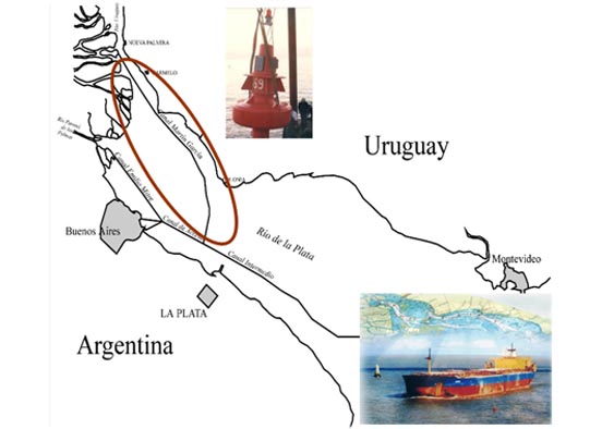
The Martín García Navigation Channels constitute one of the entry routes for maritime traffic from the ocean to the ports of the La Plata Basin. It begins at Km 39 at the height of La Plata and ends at Km 0 of the Uruguay River, with an extension of 105 km of which 75 km are dredged (from the junction with the Trunk Route to Martín García Island). The dredging depth is 32 feet to zero for the navigation of 245 m long Panamax vessels.
EIH led the consultancy for the Feasibility Studies and Preliminary Project for the Concession of the Navigable Canals of Martín Garcia (Km 37 – Barra del Farallon at Km 0 of the Uruguay River). This study allowed the concession of this Waterway at the end of the 90s, making it possible to navigate large vessels, with a draft of 32 feet, in safe conditions 24 hours a day. The works included the execution of geophysical, morphological and hydrodynamic studies, as well as the technical-economic and environmental evaluation of the project and technical assistance to the Administrative Commission of the Río de la Plata during the bidding and concession processes of the dredging works of opening, signaling, operation and maintenance.
With the works and operation of the navigation system granted, EIH also led the Inspection of the Opening and Maintenance Works and Accounting Audit, Financial, Administrative and Legal Concession Contract, a service that lasted 13 years, since the opening of the canal in 1997 until 2011.
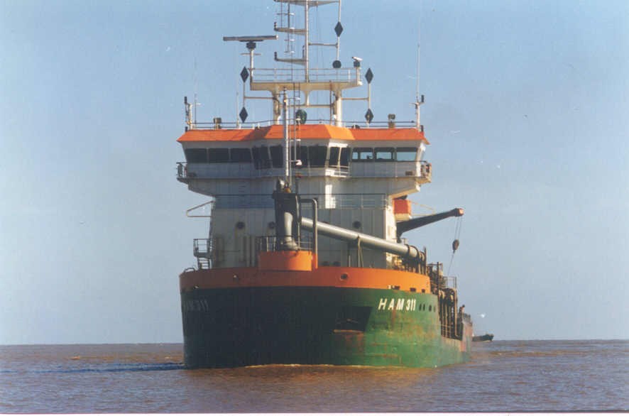
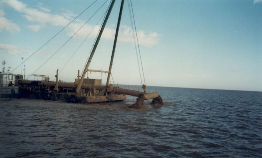
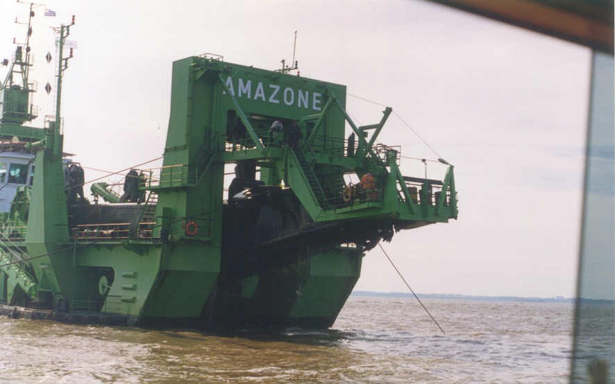
The dredging work of the canal meant the extraction of 50 million m3 in its opening and an average of 6 million m3 per year of maintenance. It also involved the extraction of hard bottoms by cutter dredge and rocky bottoms by blasting.
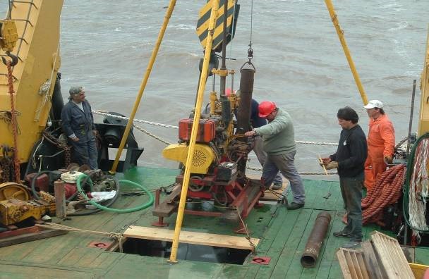
- Technical inspection of dredging: Project review. Measurements and controls in the field (construction sites, dredgers). Systematic bathymetric surveys in the canal and drainage areas. Sedimentation studies and metric computations of opening and holding volumes.
- Technical inspection of signage. Periodic on-site review of the signaling operation.
- Environmental Controls. Supervision of the Environmental Management Plan. Execution of sediment and water sampling, hydrometric measurements and physicochemical parameters.
- Administrative – Accounting Control of the Toll system. Control of billing and toll collection.
- Legal Audit. Treatment of normative and regulatory aspects.
Within the framework of the analysis of future extensions and improvements of the canal, in 2006 the Bidding Project for the 36-foot deepening works was carried out, including the preparation of the International Bidding Documents for the Works.
Later in 2014, EIH carried out the technical studies of Alternative Traces in the Martín García Channels, studying and projecting the alternative navigation channel through the Buenos Aires Channel, which passes west of Martín García Island, in order to avoid deepening dredging in the rocky bottoms that exist in the current trace. This project involved, among others, the following activities:
- Bathymetric and geophysical surveys.
- Hydrometric measurements.
- Drilling in hard bottom areas on the channel line.
- Project of Deepening on Current Route and new channel for Alternative route.
- Hydrosedimentological Mathematical Modeling.
- Project of the dredged material discharge areas.
- Environmental Impact Assessment (EIA).